

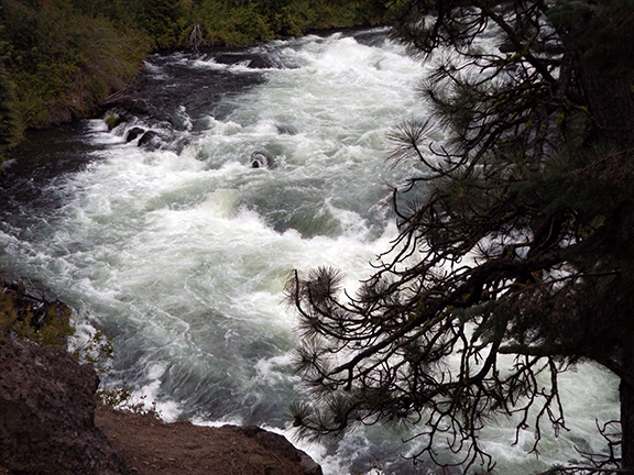
Benham Falls rushes through a gorge on the Deschutes River near Bend, Oregon.
Photos by Cheryl Landes
The Pacific Northwest has many waterfalls, and our rugged terrain creates dramatic effects. During a trip to central Oregon last spring, I discovered one that’s a short, mostly flat, hike from the trailhead called Benham Falls. It’s on the Deschutes River Trail No. 2.1, four miles west of the Lava Lands Visitor Center in Bend, Oregon.
Benham Falls isn’t the typical waterfall that plunges over a cliff. It’s a series of Class V rapids that twist, crash, and churn through a gorge on the Deschutes River. The half-mile scenic walk from the trailhead to the falls follows the river all the way.
Deschutes River Trail No. 2.1 is 8.5 miles long and passes two more falls: Dillon and Lava Island. I didn’t have time to explore the other two falls during this trip, but it’s a good excuse to return when the shelter-in-place rules are lifted in Oregon and Washington.
Enjoy today’s tour!
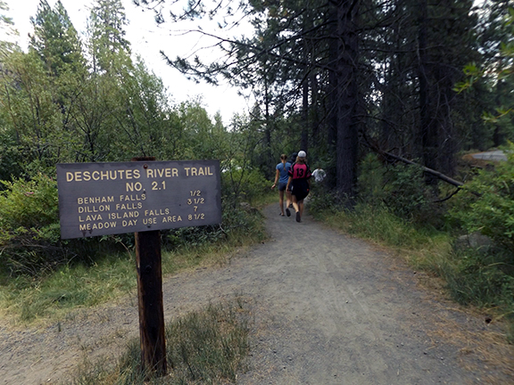
The trailhead

This river ruler near the trailhead is a cableway that the U.S. Geological Survey installed in 1905 to measure the flow of the Deschutes River. These cableways are no longer used to measure water flow. Modern instruments sense and record the elevation of the water surface and relay the data by satellite to water management agencies. The data allows these agencies to determine how much water will arrive in Bend eight hours later, which provides vital information to manage the water supply for the irrigation systems in central Oregon.

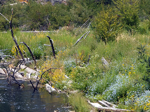
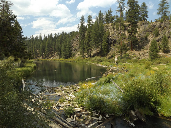
The first views of a log jam appear just past the river ruler. The log jam was created intentionally in the 1920s to protect the pilings of the bridge behind it from floating objects. The logs were tied together and anchored to other pilings to create a barrier and prevent the log jam from floating down the river. Over the decades, silt deposited around the jam, which created an ideal environment for grasses and small plants that attract birds and other wildlife.
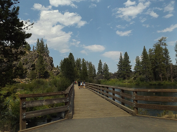
The bridge behind the log jam
A close-up view of the log jam from the bridge
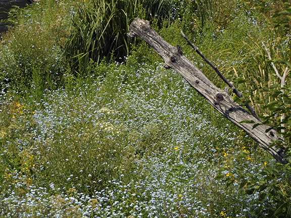
Spring flowers in the log jam
Another view of the log jam from the bridge

The trail continues on the other side of the bridge.

Benham Falls
A closer look at Benham Falls from the viewing platform
