
Photos by Cheryl Landes
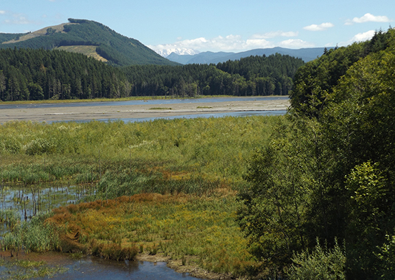
On May 18, 1980, when Mount St. Helens erupted, the blast deposited more than three billion cubic yards of sediment into the Toutle River Basin, covering 32 miles with an average depth of 150 feet. Mudflows filled the Cowlitz River channel and continued to the Columbia River. It was the largest recorded landslide in history.
The U.S. Army Corps of Engineers and other organizations initiated emergency actions to reduce the risk of floods along the Cowlitz River and restore the Columbia River’s navigation channel. For the next seven years, they removed almost 140 million cubic yards of sediment from the Columbia River — enough to build a 12-lane highway one foot thick from San Francisco to New York City.
In 1982, the Corps installed a pump station at Spirit Lake to prevent the water levels from rising too high and overflowing the debris dam created from the eruption. The dam blocks Spirit Lake’s natural outlet. Without the pumps, the communities downstream of the lake are prone to flooding.
In 1984-1985, the Corps also created a new outlet for Spirit Lake by using a large boring machine to create a tunnel through Harry’s Ridge. The tunnel is 1.6 miles long and 11 feet in diameter.
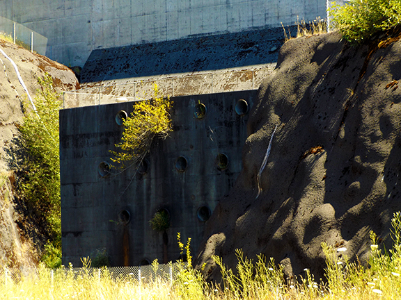
From 1986 to 1989, the Corps built a Sediment Retention Structure to capture and store sediment as another way to prevent flooding. The structure measures 184 feet tall by 1,888 feet wide and has an outlet works and spillway on the north end. The outlet works filled up in 1998, so now, only the spillway is used to bypass the water.
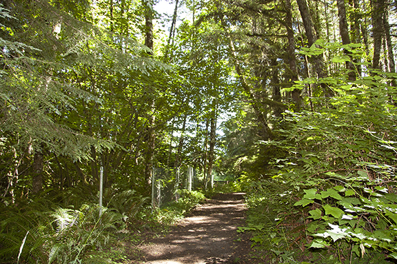
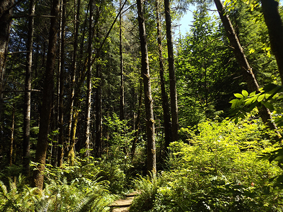
A 1.18-mile loop trail is open to hikers who want to get a closer look at the structure. The trail winds through a forest to a clearing at the top of the structure, which overlooks the Toutle River with a view of Mount St. Helens.
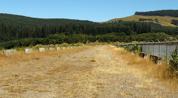
The trail continues across the structure to the spillway, then follows a maintenance road a short distance. The road intersects with the trail, which returns to the forest and ends at the trailhead.
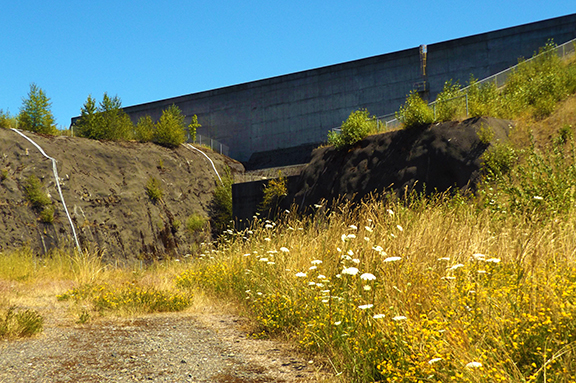

The Sediment Retention Structure is 22 miles upriver from Castle Rock, Washington, on the Spirit Lake Highway (State Road 504). Watch for the brown turnoff sign with white letters. The access road ends at the parking lot.
See an aerial photo of the Sediment Retention Structure at the Corps’ Portland District Website.

Read more about the eruption of Mount St. Helens and see pictures of the area in these two armchair photo tours:
My trip to Mount St. Helens in 2006
A trip to Mount St. Helens, 40 years post-eruption
